
Maps of India, ready for your app.
The map of Bharat for app developers and enterprises, with a checkout gateway, DigiPin and search on one API key. Ship it on the web, Android and iOS, in your own colours.
- Pincode boundaries
- 19,000+
- DigiPin cell
- 4m × 4m
- Platforms
- Web, Android, iOS
One key for the whole location stack
The pin on your map, the address you store and the route you plan come from the same platform, so they agree.
Maps of India
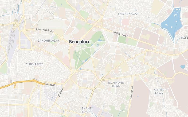
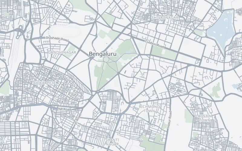
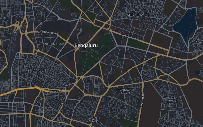
An India-first vector basemap in Default, Light and Dark for web, Android and iOS, from a first app to enterprise fleets.
Explore MapsCheckout
A checkout gateway for Indian stores: buyers drop a pin, get a DigiPin, and the pincode and locality fill in before payment.
Checkout docsDigiPin and search
Address search, autocomplete, reverse geocoding, pincode lookup and official DigiPin encode and decode on the same key.
Search and DigiPin docsRouting and navigation
BetaRoutes with turn-by-turn steps, travel-time matrices, map matching and reachable areas for car, two-wheeler and walking.
Routing docs
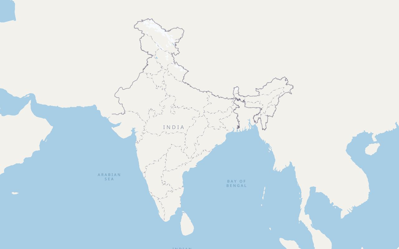
One source of truth for India’s boundary and pincodes
Boundaries and pincodes come from government data, so your map, your addresses and your delivery checks agree with each other.
- India’s boundary
- Survey of India
- Every map style draws India’s outer boundary as the Survey of India publishes it.
- Pincodes and post offices
- India Post
- 19,000+ pincode boundaries and 154,000+ post offices behind search, checkout and delivery checks.
- DigiPin
- India Post
- The official DigiPin algorithm, developed by India Post with IIT Hyderabad and ISRO NRSC.
Roads, places and labels on the map are OpenStreetMap data, © OpenStreetMap contributors.
Map Studio
Your brand’s colours on the map of India
Most basemaps make you pick from a few fixed looks. Map Studio lets you restyle ours in the browser, with no design tools and no style JSON to edit by hand.
- Recolour land, water, parks, roads, buildings, rail and labels
- See every change on the live India map as you make it
- Export as code, a style file you host, or a palette
Add the map to your app
Built on MapLibre, so it works with the open-source SDKs you may already use.
Create a key with the maps scope
The same QuantaRoute key also works for search and routing.
Allow where it runs
Add your website as an allowed origin, or your Android package name or iOS bundle id as an allowed app.
Paste the code for your platform
The key goes on requests to maps.quantaroute.com only. Keep the OpenStreetMap credit visible.
MapLibre GL JS. Add your site as an allowed origin on the key.
<!doctype html>
<html lang="en">
<head>
  <meta charset="utf-8">
  <meta name="viewport" content="width=device-width, initial-scale=1">
  <title>QuantaRoute Maps</title>
  <link rel="preconnect" href="https://maps.quantaroute.com" crossorigin>
  <link rel="stylesheet" href="https://unpkg.com/maplibre-gl@4.7.1/dist/maplibre-gl.css">
  <style>html, body, #map { height: 100%; margin: 0; }</style>
</head>
<body>
  <div id="map" role="application" aria-label="Map of India"></div>
  <script src="https://unpkg.com/maplibre-gl@4.7.1/dist/maplibre-gl.js"></script>
  <script type="module">
    import { CompassControl, ZoomControl }
      from 'https://maps.quantaroute.com/controls/v1/qr-controls.js';

    const MAPS = 'https://maps.quantaroute.com';
    const KEY = 'dp_your_key'; // public maps key; optional: lock it to this origin in the dashboard
    function mapsUrl(url) {
      const u = new URL(url, location.href);
      if (u.origin === MAPS) u.searchParams.set('key', KEY);
      return u.toString();
    }

    const map = new maplibregl.Map({
      container: 'map',
      style: mapsUrl(MAPS + '/styles/quantaroute.json'),
      transformRequest: (url) => (url.startsWith(MAPS) ? { url: mapsUrl(url) } : { url }),
      center: [76.43708, 22.66831],
      zoom: 3.7,
      minZoom: 3.2,
      maxZoom: 21.9,
      maxPitch: 85,
      maxBounds: [[40, -8], [120, 52]]
    });

    // QuantaRoute zoom and pitch controls. Add bottom-up so compass sits above zoom.
    map.addControl(new ZoomControl(), 'bottom-right');
    map.addControl(new CompassControl({ maxPitch: 85 }), 'bottom-right');
  </script>
</body>
</html>Coordinates to an official DigiPin code.
curl -X POST https://api.quantaroute.com/v1/digipin/coordinates-to-digipin \
  -H "Content-Type: application/json" \
  -H "x-api-key: YOUR_API_KEY" \
  -d '{"latitude": 28.6139, "longitude": 77.2090}'
Find the address, then the way there
Search and routing sit on the same key as the map, tuned for Indian addresses and Indian roads.
Search and DigiPin
Resolve a point to its post office, pincode and delivery status across 19,000+ pincode boundaries, and encode or decode DigiPin codes.
Routing and navigationBeta
Routes with turn-by-turn steps, tolls and signals, travel-time matrices, map matching, trips and reachable areas. Built from OpenStreetMap with one-ways and turn restrictions applied.
Checkout
An address step your Indian buyers can’t get wrong
Drop the QuantaRoute checkout into your store so every order arrives with an address your courier can find.
- Buyers drop a pin on a live map and get a DigiPin on the spot
- State, district, locality and pincode fill in, so buyers type only the flat and building
- One package for React web, iOS and Android

Put India on your map today
Create a key in minutes, or talk to us about volumes and support.